
Ambition North East Face. Photo John Scurlock.
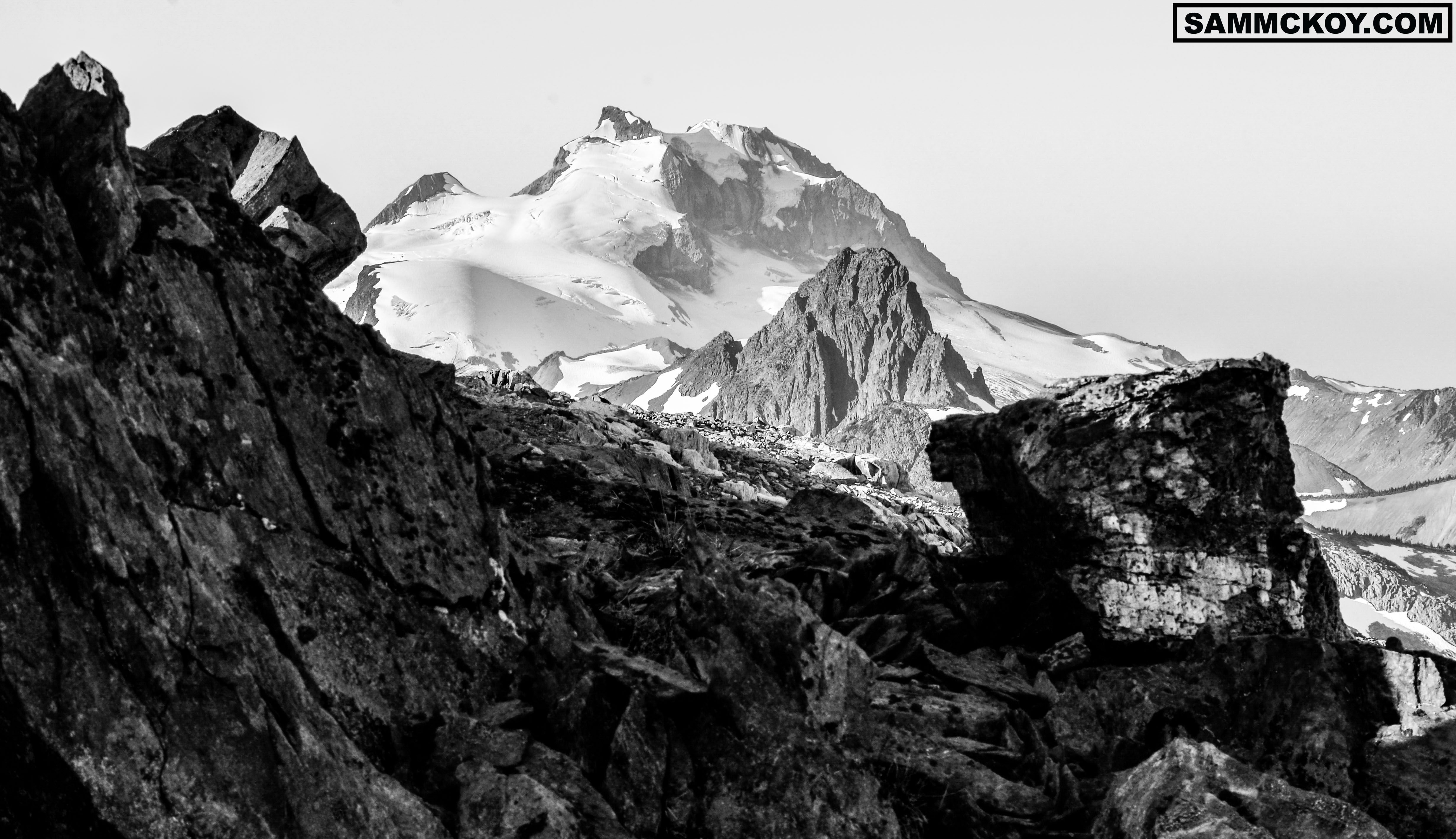
Mount Ambition
Elevation: 2953m/9688ft
Prominence of North-East Face: 1300m/4265ft
Sub Range: Kitimat-Stikine Range
Latitude: 57°23’38.32″N
Longitude: 131°29’10.68″W
Access: Very Difficult. Requires expedition or ski plane.
Popularity: Mountain is unacustomed to visitors. Ever.
First Ascent: Unknown and unrecorded first ascent.
Bivouac.com notes: “A heavily glaciated peak lying east of the Stikine River. It is located in the “Y” between the Stikine and Mess Creek. It is about 10 km south of the head of Yehiniko Creek. To the south, the icefield is drained by the Scud River, which flows into the Stikine. The peaks in this area are visible from the Edziza plateau, which is about 50km northeast of these glaciated peaks, across the deep valley of Mess Creek. There is a reference in 1995 CAJ that says Ambition had been previously climbed.”
Skiable: Yes. South West and South face.
Easiest Route to Summit: South face.
Avalanche Terrain: Complex
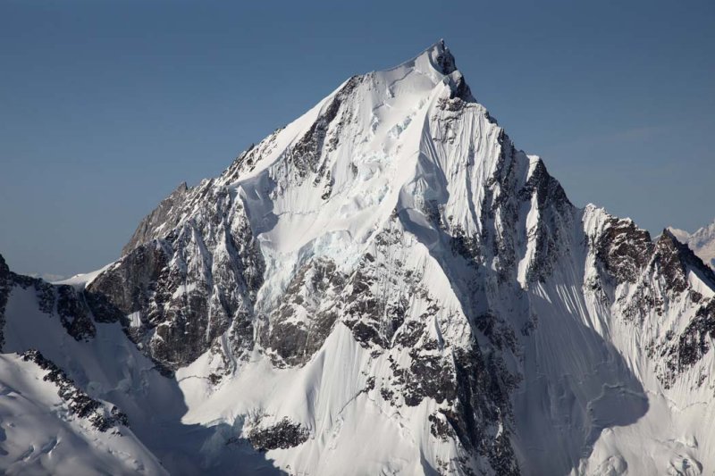
Ambition North East Face. Photo John Scurlock.

Ambition South-West Face. Photo John Scurlock.

Ambition West Face. Photo John Scurlock.

Ambition South Face. Photo John Scurlock.

Ambition South-East Face. Photo John Scurlock.

Ambition NE Face. Photo John Scurlock.

Looks impressive! Mention here of an ascent early August 1967 http://www.desertmountaineer.com/2014/01/23/ambition-mountain/
Mike L’égaré, Eric dallaire and myself skied the NE face April 20th 2016 from the sub peak, upper face was ice.
Impressive! Do you have a drawn line of the descent or a trip report?